
Product Description
Complete information at first sight.
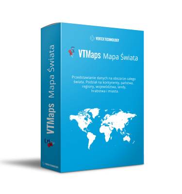
Do you analyze data from different countries of a particular continent?
Europe is made up of 46 countries; that is a very large amount of important spatial data. Organize it all automatically by viewing clear info-maps and change your point of view for the better – perhaps you will notice new relationships that may prove crucial.
With Advanced VTMaps you generate your map data in a few clicks from within Excel, and recognizing the names of countries, regions or towns it will substitute the appropriate data for you.
Funkcje VTMaps Advanced:
- 100% compatibility with MS Excel
- no need to install external programs
- support for all geographic locations within the boundaries of the given country
- division into provinces, counties, regions, states, cities, countries, etc.
- recognition of names in original languages
- reading of postal codes
- ability to design your own territorial divisions
- flexibility in the creation of legends, coloring of regions
- ability to zoom in on the map without loss of image quality
- presentation of data with charts, shapes
- maps are fully editable and configurable
- simple updating of data and its automatic change on the map
- Integration with MS Office
Reviews
There are no reviews yet.